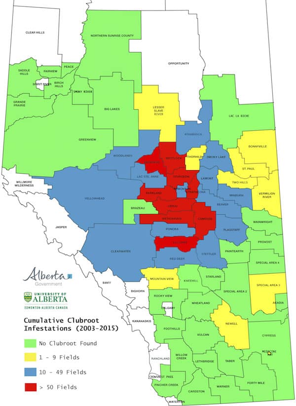
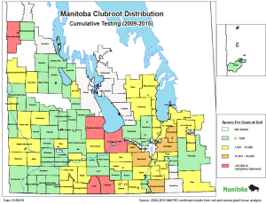
Alberta and Manitoba have maps showing the range of clubroot across each province, but the maps are based on different criteria.

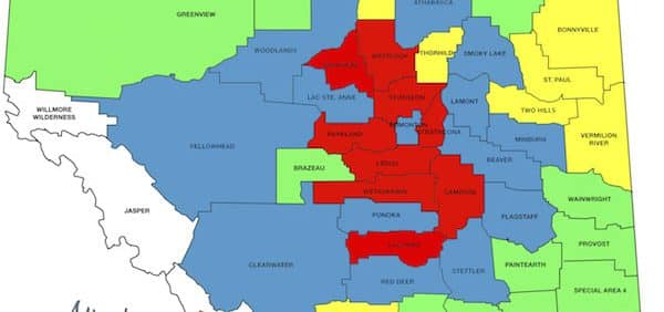
The Alberta map shows the extent of fields with observed clubroot symptoms by county. Counties in red, for example, have had at least 50 fields from 2003 to 2015 that produced canola with clubroot galls. The map is based on many hundreds of field surveys over the years by staff from the Canola Council of Canada, University of Alberta, Alberta Agriculture and Rural Development and from counties, municipal districts and special areas.

The Manitoba map is based primarily on clubroot spore levels in soil samples. Municipalities in red have had clubroot symptoms observed in at least one field or have had at least one soil sample with spore levels above 80,000 per gram. This is considered the minimum spore population threshold for gall formation under field conditions. The map is based on results from 2009 to 2015. In 2015, soil sampling and laboratory analysis increased to 721 soil samples analyzed as part of increased efforts to better understand the distribution in Manitoba. Manitoba is committed to testing at least one field per township for the entire province.
From the Manitoba survey efforts in 2015, 113 individual fields were found positive for clubroot through soil sample analysis and 6 fields were found to have symptoms. From 2009-15, clubroot has been confirmed in soil samples from 159 Manitoba fields, and clubroot symptomatic plants have been found in 8 fields. Therefore, a Manitoba map based on Alberta’s parameters would have no red or blue municipalities.
Saskatchewan clubroot testing is limited to 100 to 150 random fields per year, but given the presence of clubroot along the Alberta and Manitoba borders, pathologists assume that clubroot in Saskatchewan may be present in more fields than the four previously identified.

