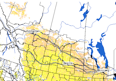
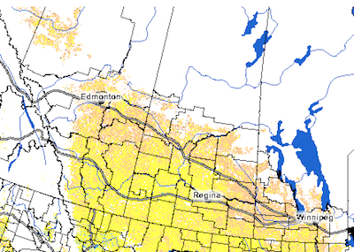
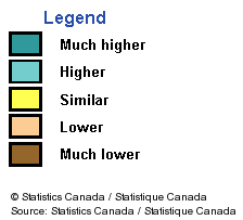
This map shows the difference in Normalized Difference Vegetation Index (NDVI) at 1-kilometer resolution as of May 19 to 25, 2014 compared to the same period in 2013. Yellow areas are similar to last year, light brown areas are slightly behind.
This map is from Statistics Canada. Click here to update the map, do different comparisons or zoom in.


